Maptrail
Maprun involves orienteering round a virtual course using the app and your map to visit as many checkpoints as you can. Route choice, navigation, and judgement as to how far you can go in the time allowed are key to a successful run.
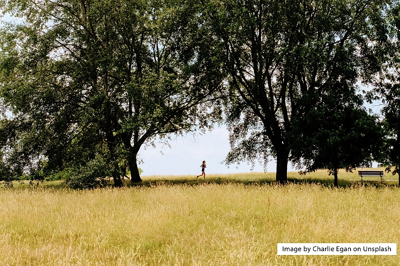
Maptrails are aimed at runners who are looking for solid mileage without too many navigation and route choice challenges, or who are looking for some simple map reading and navigation training. You can find details of the trails in the Maptrail section of the Courses page. They differ from standard mapruns in 4 specific ways:
1. The course is a fixed sequence of checkpoints, to be visited in sequence - 1 to n. The winner is the fastest round that sequence of checkpoints, without missing any. Remember that results are automatically logged on the maprun server, so run alone, not in real time competition with others. You can still see how you fare against others on the course leaderboard.
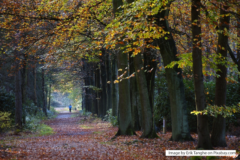
2. The map usually, but not always, includes a trail route via tracks and paths which you can follow. This is seldom the quickest route, and you are not obliged to stick to it. The idea is to use the the map to find shortcuts between the checkpoints, and so shorten the distance run, and time taken. You can keep to the paths, or you can break out cross country of you wish.
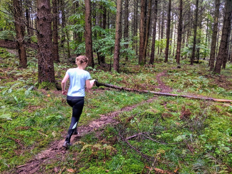
3. The map will usually show you, in greater detail than in standard maprun maps, where you can run, and where you can't. Many maptrails are set in forest and woodlan terrain where there is plenty of scope for getting off the paths and into the woods proper. You will quickly get the hang of the colouring of the map, and how it shows ease of running off-path.
4. If you are not too confident in your navigation, there are facilities in maptrail courses to help you. When you download the course, and provided you are using the latest maprunF app, you have the opporunity to set up the course so that the phone will show where you are at all times, and will show you your recorded track. By default these capabilities are switched off, and we encourage you to leave them so. However, if you wish to have a safety net, you can enable runner location, then maybe put your phone out of sight, and only refer to it if you are well and truly lost. Bear in mind that a key navigation skill is re-location - ie working out where you are when you aren't where you should be - and maptrails are a good training ground for re-location, if your map reading is a little sketchy.
These things apart, maptrails are very much like mapruns, but with a specific sequence of checkpoints to visit, and a possible route marked on the map to follow if you want maximum distance at the expense of corner cutting and speed.
SAFETY
All maptrails are in the Forest of Dean. Please only run them if you live locally, and you are a moderately confident map reader. They are designed for runners who know the forest and know how the technology works.
You are responsible for your own safety when running maptrails. If going out alone you should notify someone where you are going, and arrange to let them know when you are back. Unless specifically mentioned in the maptrail course details, you do not need any special equipment to run a maptrail, though a compass can be handy if you lose your bearings. You should dress appropriately for the time of year and forecast weather, and will typically benefit by wearing robust trail shoes rather than road trainers.
Maptrail Maps
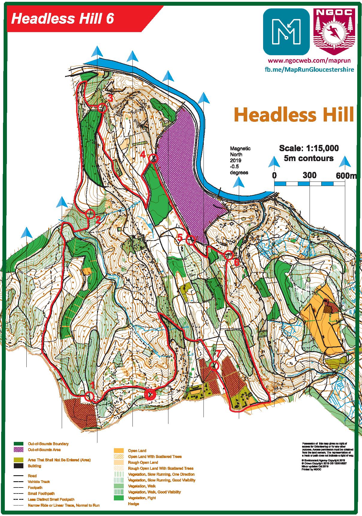
Some maptrail maps, such as Speech House 5, and Waun Fach West, are special to those courses, but in general maptrail maps are standard orienteering style maps. For trailrunners, there are really only five things you need to know about them. Study the map to the left when reading through these points.
1. Roads are marked as thick brown lines, and tracks and paths as black lines. The thicker the line, the bigger the track or path.
2. Open ground is shown in various shades of yellow, and private land that you may not enter is olive green.
3. Woodland is either white, which means that it's easy to run through, or varying shades of green. The darker the shade, the harder it is to get through. If it's dark green, go round! If there is undergrowth to slow you down, that is shown as green stripes, the more dense the stripe pattern, again the harder to get through it.
4. Out of bounds areas are marked as either purple or black hatching or vertical lines.
5. Finally, the trail route, if you wish to follow it, is marked as a thick red line, with the 'crow flies' straight line course betwen the checkpoints marked as a thinner purple line. The purple line marks the shortest route, though seldom the best one, while the red line shows an all-path runnable route for those not confident in cross country navigation, but again not necessarily the shortest path route.