BNOC 2021 Training Courses
Following the success of the British Night Orienteering Champs on Cleeve Hill at the end of November 2021 we thought people might be interested in reprising one or more of the highly regarded courses planned by John Fallows for that event. We have created Maprun versions of courses 2, 4 and 6, the details of each being as follows:
- Course 2: 9.1Km, 375m climb, 18 controls
- Course 4: 6.2km, 220m climb, 13 controls
- Course 6: 4.5Km, 200m climb, 10 controls
Important. BNOC 2021 was, of course, a night event, when no golfers were on the course, and so controls and legs paid less heed to the golf course than would have been the case for a daylight event, though they did generally avoid the likelihood of runners crossing greens and tees. If running these courses in daylight, you must pay careful attention to the golf course, and players on it, and must not interfere with their game. The map for these courses, unlike the BNOC event map, shows the holes and fairways, so pay careful attention to these. The map does not however show the direction of play, so it's up to you to assess that when out on your course.
Each course is set up with a couple of navigation aids available to use if you are not a confident navigator. You can enable the current location and show track features if you wish. You need to do this by tapping Options and Settings and enabling those two options before tapping Go to Start. You cant do it once you have tapped Go to Start. The other aid is the Show Me button. This displays at the top right corner of the phone display, and by tapping it the phone will show you your current location for 20 seconds. You can do this a maximum of 3 times during your run, if completely baffled as to where you are!
Parking is in the normal querry car park for Cleeve Hill, just past the golf club.
The Start is on the strip of short grass which runs directly up the hill from the west edge of the quarry car park. Towards the top of the slope, after about 250m or so, the path goes through a collection of gorse thickets, and the start is on the brow of the hill towards the far end of these thickets.
The Finish is on the Northern edge of a prominent gorse thicket towards the left hand(western) end of a collection of thickets roughly in line with the top edge of the quarry carpark, and before you cross the obvious golf fairways below the distinctive vegetation.
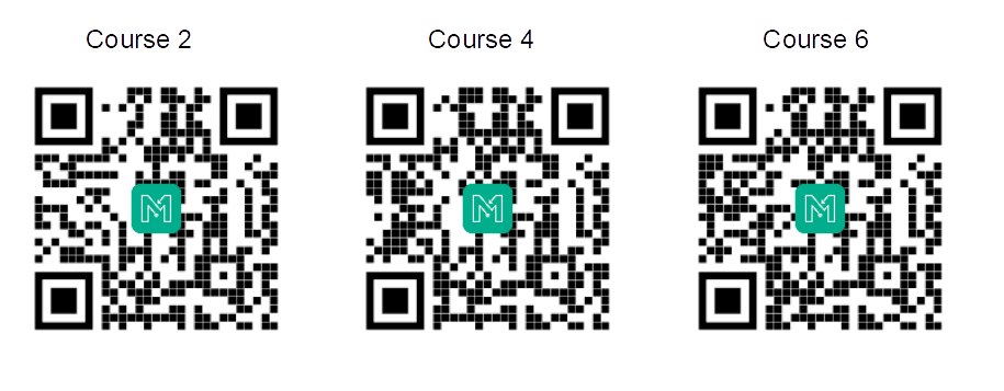
The courses can be downloaded from the UK/Gloucestershire/Training folder, or by scanning these QR Codes with your MapRun phone.
| View or Print Course 2 Map View or Print Course 4 Map View or Print Course 6 Map |
| Course 2 Leader Board Course 4 Leader Board Course 6 Leader Board |
Course 2 Tracks Course 4 Tracks Course 6 Tracks |